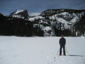
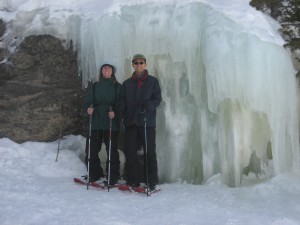
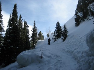
We spent day one snowshoeing in Rocky Mountain National Park, another first for us. We started by traversing the frozen-over Bear Lake, where we found a fascinating ice flow formation on the far side. Then we headed up the trail to Nymph, Dream, and Emerald Lakes.
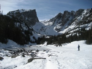
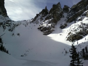
And then we snowshoed back, ate dinner by the window at The Other Side Restaurant with Canada Geese peering in just a few feet away, and soaked some tired muscles in the hot tub.
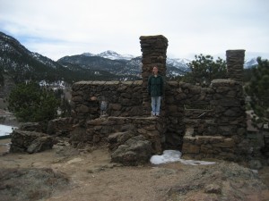
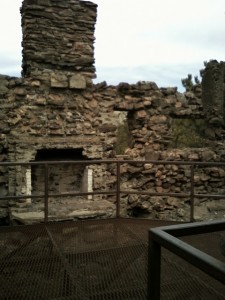
The next day we did the tourist thing in Estes Park. First off we saw a stone structure on top of the hill behind the main parking lot, so we went looking for a trail up. It turned out to be an old stone dwelling complete with a fireplace and chimney.
Ok, so now I’m going to divulge a little secret. I’ve had a fixation on Palisade Peak ever since the Devil’s Backbone trip last summer where I saw the photo identification map of several Front Range peaks. I’ve searched the internet for information about climbing it but aside from two accounts of actual trips, there’s not much to read. But I’ve been stalking this peak. I’ve taken multiple photos of it. I notice when it’s encircled with haze or fog or rays of setting sun. My eyes occasionally glance off the road while driving I-25 just to admire its fascinating shape, which oddly reminds me of a graph I saw in a book a decade ago. I imagine myself up there.
Well anyway I got it into my head to try and locate the “trailhead” which is supposed to be an old service road. So we turned off Hwy 34 at Drake and headed up a dirt road on which 95% of vehicles were 4 wheel drive, unfortunately not including us. But we made it to the top and it opened out into a relatively flat plain with a whole neighborhood up there. We continued hoping to find a way up Palisade but there seemed to be “No Trespassing” signs everywhere! Finally we found an old road without such signs and decided to give it a try.
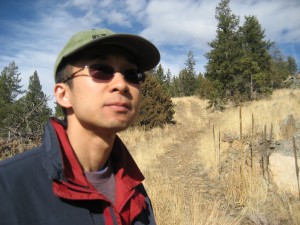
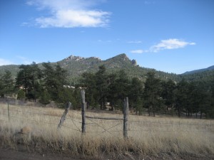
So we began to make our way up the dirt road. Eventually we came to a clearing with man-made structures and had to acknowledge the fact that we were indeed trespassing private land, posted signs or not. We returned to the car defeated but inspired. Climbing Palisade has become my personal mystery to pursue.