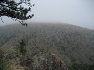
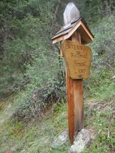
I joined Northern Colorado Adventurers to climb 14ers. Booyah. Each spring they warm up with several “training hikes” like this one, which was posted as a hike to Sheep Mountain on the Round Mountain trail. I’ve had my eye on that mountain for two years, as it rises basically across the highway from my enchanting pet icon, Palisade Peak. I was in.

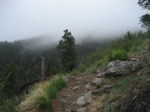
It was a damp and foggy morning. Search and Rescue was just kicking off a group training session as we found the parking lot. Due to the weather, we changed our objective to Stone Mountain to cut a little mileage off and add a fun rock scramble at the summit. I’d never heard of Stone Mountain, but considering the lack of visibility in the fog, I was happy with the decision. Since I’ve wanted to hike Sheep Mountain for two years, it would have been disappointing to get to the top and not be able to see anything. (The thunderstorm at the top of Horsetooth Rock last fall comes to mind.) Save that one for a better day.
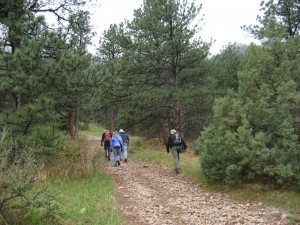
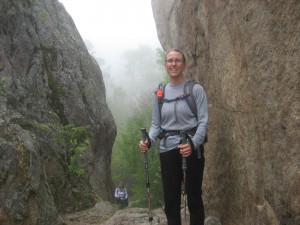
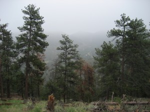
I figured out soon enough that I wasn’t going to keep pace with the front end of the group. I tried. Anyway we hiked through fog under trees lightly dripping with snow melt. Half way up there was a meadow where we needed to diverge from the Sheep Mountain route and head toward Stone Mountain, but since we couldn’t see the mountain through the fog, we got lost and relieved the tension by joking about the Search and Rescue team nearby. We wandered around through burnt underbrush dotted with blackened pine cones and surmised that lightning may have started a smoldering ground fire which rain may have squelched.
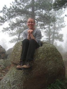
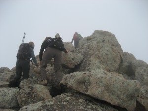
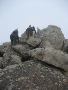
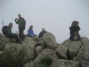
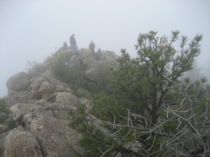
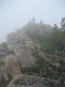
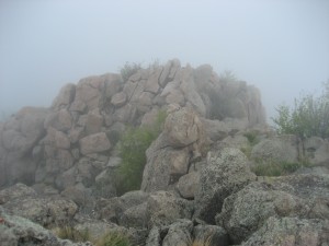
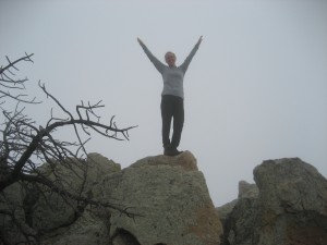
Somebody finally consulted a map and compass and eventually found the correct trail some hundred yards away, which was not easy for the untrained eye to follow save for small cairns at odd intervals. The stony peak was indeed a fun little climb. The views were nil but the fog added an air of intriguing mystique.
Repeat in reverse, except we didn’t get lost. That was the last mountain those boots will ever hike on my feet though. Five hours of footwork blew out my knees and gave me a blister and two black nails. One is still black and I’m breaking in a wide new pair of Keens a half size larger. That’s right, I wasted no time in shopping for new footwear, which to my good fortune coincided with REI’s anniversary sale.
I got those less than a week before my first scheduled 14er of the season, Mt. Sherman, convinced that brand new shoes could not be worse than those dozen-year-old leather boots. In the end, the weather on Sherman turned cold and fiercely windy and I bailed out last minute. I was looking forward to putting my Keens to the test on a full moon hike up Horsetooth Rock last night. Unfortunately I got sick and couldn’t make it, although the moon looked amazing out my upstairs window. Last week the group climbed Mt. Elbert without me but that’s a mountain I need more training to attempt. Next up is Mt. Bierstadt at the end of June. Some will do a loop across the Sawtooth to Mt. Evans but I think I’ll not push my luck.
