Horsetooth Falls family hike, May 2011 – pics only until I have more time on my hands!
Fun stuff!
Jalazon is a refugee camp
where stones and ashes are as common as bread
where Arab children scatter like stray cats
from the fire of God in every rifle shot
In Jalazon hot dust falls upon
three feet of rubbish once three stories tall
torn from the alley like a missing tooth
like a gravestone tipped in a childish prank
A bent man stumbles on a broken stone
a young boy stoops to place it in the trash
nevermind the shattered millions more
one stone makes a difference in Jalazon
Based on a true scene I witnessed in Israel (West Bank) in 1994, this poem still feels to me like it should go deeper. There is much more to say. This draft was actually “finished” in a hotel lobby in Atlanta the night before I was supposed to deliver a presentation entitled “Stones and Ashes: A Poem or Two” at the Alpha Chi National Honor Society conference in 1995. Yes, I titled the presentation after an unfinished work, and even had the audacity to board the plane to Georgia without a complete manuscript! After my talk, someone asked for a copy of the poem and I gave him my handwritten original, thinking I had written it down elsewhere; I never found it. I later sat and wrote it out again by memory. I have a feeling that if I ever do finish this poem properly, it may run quite long. But for now the seed lies dormant and I have the sense not to water it. I feel it may be a work that will consume me until I master it, and that will have to wait for another season.
We spent day one snowshoeing in Rocky Mountain National Park, another first for us. We started by traversing the frozen-over Bear Lake, where we found a fascinating ice flow formation on the far side. Then we headed up the trail to Nymph, Dream, and Emerald Lakes.
And then we snowshoed back, ate dinner by the window at The Other Side Restaurant with Canada Geese peering in just a few feet away, and soaked some tired muscles in the hot tub.
The next day we did the tourist thing in Estes Park. First off we saw a stone structure on top of the hill behind the main parking lot, so we went looking for a trail up. It turned out to be an old stone dwelling complete with a fireplace and chimney.
Ok, so now I’m going to divulge a little secret. I’ve had a fixation on Palisade Peak ever since the Devil’s Backbone trip last summer where I saw the photo identification map of several Front Range peaks. I’ve searched the internet for information about climbing it but aside from two accounts of actual trips, there’s not much to read. But I’ve been stalking this peak. I’ve taken multiple photos of it. I notice when it’s encircled with haze or fog or rays of setting sun. My eyes occasionally glance off the road while driving I-25 just to admire its fascinating shape, which oddly reminds me of a graph I saw in a book a decade ago. I imagine myself up there.
Well anyway I got it into my head to try and locate the “trailhead” which is supposed to be an old service road. So we turned off Hwy 34 at Drake and headed up a dirt road on which 95% of vehicles were 4 wheel drive, unfortunately not including us. But we made it to the top and it opened out into a relatively flat plain with a whole neighborhood up there. We continued hoping to find a way up Palisade but there seemed to be “No Trespassing” signs everywhere! Finally we found an old road without such signs and decided to give it a try.
So we began to make our way up the dirt road. Eventually we came to a clearing with man-made structures and had to acknowledge the fact that we were indeed trespassing private land, posted signs or not. We returned to the car defeated but inspired. Climbing Palisade has become my personal mystery to pursue.
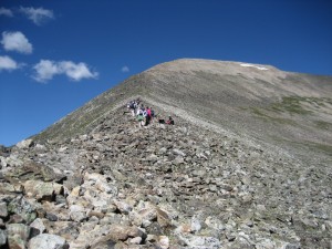 On Saturday I disappeared into thin air. Well I didn’t disappear, but anyone on the trail thousands of feet below would have seen nothing more than an ant trudging up a giant anthill. Anyway at 14,265 feet up, the air is indeed thin, and the views breathtaking. Or should I say breath-catching!
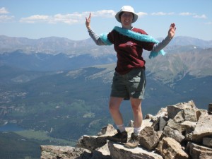 Here I am celebrating an arduous climb to the summit of Quandary Peak, my first 14er, those tallest kings among mountains that Colorado is famous for. I and six girlfriends left the trailhead in the valley at 7am and 5-1/2 hours later this was our reward.
I’d expected to do the whole hike, up and back, in that amount of time! Some of our husbands had done it a month ago in 5 hours. But unfortunately two of our group suffered bad altitude sickness requiring a slow pace and frequent rest stops on the ascent. (One did feel a little better after throwing up. That bad.)
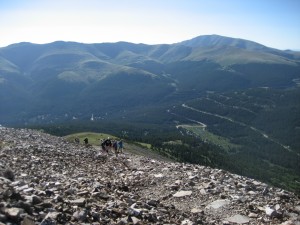 Around the same time I took the above photo looking up and the summit felt sooo far away, I turned around and looked down to the highway where I’d come from. Wow. It really boosted my mood and confidence when fatigue was taking a toll.
I also contemplated the golden value of such friends I have. No one had an ego to show off. No one was trying to prove anything. There was nothing but patience and encouragement for those who were lagging. (Little did I know that would be me on the way down, running out of water two hours early and bad knees screaming their displeasure at the steep rocks.) I realized that I myself was far more flexible and patient than I used to be, willing to stay with my friends at the end of the line or offering to share my hiking poles. That’s big for me, someone who has always been highly competetive. This was just not the time for that.
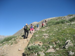 I love my girlfriends, their strength, humor, complete support and solidarity. Only recently have our friendships gone deep like this, and it’s like drinking cool water from a deep clear mountain spring. I will take care of them. Frienships like this should be nurtured. As a Nigerian proverb says, “Hold a true friend with both your hands.”
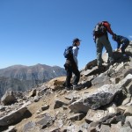 But my friends weren’t the only ones that amazed me. And I’m not talking about the guy who passed us early on wearing a kilt. (We asked if it was a skirt or a kilt and he said, “It’s only a skirt if you have something under it.” Eeek.) I was truly inspired by a Chinese grandfather and his seven year old grandson who held hands most of the way up the mountain. Their pace was slow like ours, so they passed us, we passed them, repeat, and it wasn’t until the final and steepest stretch that they went up without us. This photo shows the two of them resting a moment (with mom) and you can see how steep the trail gets. I just accidentally typed “trial” but maybe that really isn’t a typo after all.
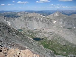 The high elevation made me far more emotional than I generally am. I nearly cried when I heard other hikers talking about an accident on the top involving a two year old girl in a child backpack that we had seen leave the trailhead on her father’s back just before we did. Apparently he had set down the pack with her inside and she kicked her legs enough to topple over forward, hitting her face on the rocks. I didn’t see them coming down (I believe I was squatting behind a big rock, he he) but my friends said she had bandaids and blood across her forehead. That was it, tears in my eyes. I have kids. I hate it when kids get hurt. I honestly felt like scurrying back down the trail to see if she was alright. I also got teary watching a big black dog of all things. The poor animal looked disoriented and thirsty and had run ahead of its owner down the mountain. It kept running ahead of us and behind us looking for a familiar face.
 By the time we got back to the car it had been an 8-1/2 hour trek. I took some time to reflect on observations about myself. Right there in the back seat I wrote a list, so might as well share it that way.
 I still have a sense of wild adventure and spontaneity even though I haven’t been able to live it out for many years. I hope this is just the beginning of rebirthing that aspect of my heart.
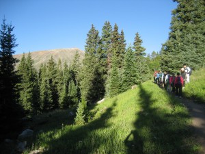 Saturday was a special day – my first 14er and the first time I ever spent a whole day with girlfriends. We climbed a mountain together, and I climbed a personal mountain, that of bonding with a spectacular group of women. We scaled so many rocks that we all called each other rock stars! Our next adventure will be awesome, I am sure.
My husband was sure the trail wasn’t too long, and was relatively close to Fort Collins. So we planned a hike to Comanche Lake for a picnic lunch after church in mid July. In the car I took a look at his handwritten directions. The first thing I noticed was that the cumulative mileage was over twice what he had mentioned at home. The drive time ended up tripled, but more on that later. The second thing was that yes, the Comanche Lake trail may be short and easy, but it starts 3.7 miles in from a separate trailhead! That would make it nearly 10 miles round trip if we got to the lake. It was written in his own writing, but he was ever so surprised when I pointed this out somewhere along Hwy 14 heading into the Poudre Canyon. However we were already committed to a trip by that point, right?
Since the drive was longer than expected, we pulled off to a picnic area beside the Poudre River for lunch. While there, a rafting tour bus offloaded and we watched about half a dozen rafts set off down the river. Further along, we turned up Pingree Park Road and that’s where the driving got fun. Now Pingree Park Road, though gravel, is well maintained. But it’s long, and definitely slower than the highway.
When at last we reached our forest service road turnoff, we were greeted by a sign warning about a “class 4” road. We had no idea what that was… we found out that it means lots of rocks and bumps, actually really big rocks and holes in the road. It also means a few miles add another half hour. The last thing it means is that we should really consider 4wd if we’re going to make this a habit. Whew!
As you can see by the pictures, we did eventually find the trailhead. Knowing we wouldn’t make it to the lake, we decided to hike as far as Comanche Reservoir, which the trailhead sign said was just two miles up the trail. We saw it through the trees as we hiked along. Trevor rode in the backpack and Jaron had some difficulty with the rocky terrain. There were a lot of dead trees (pine beetle damage) and it was definitely not one of the prettiest hikes. There were a few nice views though.
One cool thing we found was a gentle waterfall that simply disappeared into a hole, apparently crossing the trail as an underground stream.
I could not see an outlet on the other side, though there was evidence of a dried up seasonal stream bed. Here’s a pic of the hole where the stream went subterraneous.
The kids were getting worn out and we still hadn’t reached the reservoir. Bear Creek curved near the trail at one point and Melody wanted to go touch the water. Then of course the boys wanted to touch the water too. Realizing that everyone was tired and not really knowing how much further it was to the reservoir, even though we guessed it to be maybe only a quarter mile away, we decided to celebrate the stream as our accomplishment and turn around.
Jaron was especially tired and Trevor was restless in the child carrier backpack, so the boys swapped positions. Trevor was a happy little hiker even though he kept tripping on the rocks.
Although our original goal was too ambitious for the kids, this was another great day spent as a family enjoying nature. We’ve talked about returning for an earlier start when we’re better prepared and the boys have more endurance. And although Jaron complained on the trail and said he wanted to go home, in the weeks to follow he frequently told us he wanted to go hiking again!
As long as there are bugs, plants, and critter noises scattered about, young children will be entertained by the wild. On Saturday July 24, 2010, we just looked out the window at breakfast and decided it was such a beautiful day that we had to do something! We hit the trail for Devil’s Backbone near Loveland at about 9:45.
Being a short hike, we thought the baby could handle it without a kid carrier backpack. I’m certain that he’s plenty strong. That 17mo body already wears size 2T. But we quickly ran into problems with his mood; he just didn’t want to hike that day. As a result, our arms got a bit more workout than expected! Here we are starting roughly northward.
My other two kids, however, were fascinated by ants, dragonflies, beetles, and the like. I spotted many scrunchy little cacti clumps in the grass and asked Melody if she knew what a cactus looks like. She thought she did, you know, tall with a couple of fat monkey-arms out the sides. I said not all cacti look like that and challenged her to find some along the trail. I gave her clues about size, shape, and color and we passed many clumps before she recognized it. After that, she pointed it out at every turn, so proud of her new knowledge of “cacti” which was a new word to be proud of too.
The trail is very easy in the lower half, being well worn and relatively free of tripping hazards. There is a bridge or two to cross and some actual steps to ascend. The kids did better climbing up along the side because they kept tripping on the steps. The trail is shared by mountain bikes and horses; some sections are designated for foot travel only. The foot travel portions get a bit more rocky and uneven.
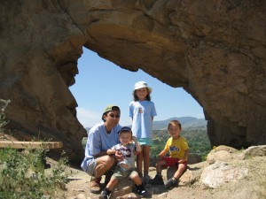 We reached the Keyhole and were rewarded with a nice view of the valley to the west of the ridge. There is a little room to walk down through the keyhole and explore the rocks, being mindful of course of the posted dangers of rock instability. Behind the south edge of the keyhole is a well-worn rock face begging to be climbed by small children, and mine was no exception! There’s a sort of hollow “nest” at the top.
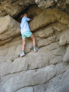 Getting higher and eyeing the “nest”
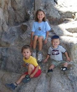 When she got back down (with a little help) we took a few more pictures on the rocks and headed back.
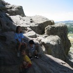 The views were pretty, though not spectacular as the farmland in the valley is inhabited. The best part of the view is that it’s a break from looking at the side of the rocky ridge through most of the hike, and you can see the skyline of the Rocky Mountain range. Many major peaks are named on an info sign at an earlier viewpoint. (Okay, yes there are also views to the east of the trail but those are mostly hills, and also inhabited. There is a clear view of Mariana Butte to the south as well.)
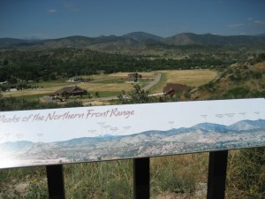 I was pleased to see this sign at an observation point as I had searched unsuccessfully for just such a map on the internet a few days prior. I took several close-up photos so I can try to learn the peaks at home.
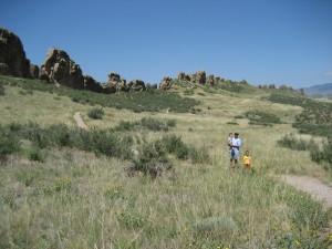 Here you can see more of the ridge on our way back to the trailhead. Daddy’s taking a turn hauling the little muffin. He really did hike some, but was just having an off day. We sure wished we’d brought the baby backpack!
It was lunch time and since the whole trip was spontaneous, we hadn’t packed a meal. We decided on the way down to stop at a Chinese buffet in Loveland.
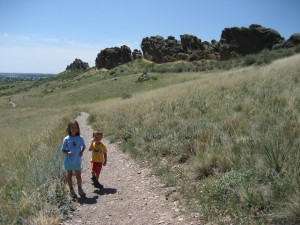 By now the kids were hungry, which slowed them down. We kept promising that the faster they could get to the car, the faster we could go out to eat. They love restaurants, so that proved to be good motivation. Here’s a final shot looking down the south end of the Devil’s Backbone. They did great and love talking about our summer hikes this year.
As for me, I got a little emotional on the way down thinking how blessed I am to finally be enjoying frequent nature outings with my family, a dream I’ve held for several years. This summer has been a turning point, now that we are done having children and nobody is pregnant or age two. One more summer of “age two” next year and we’re out of the woods! Or more likely, headed into the woods more often.
What fun to host old friends visiting from Oregon a few weeks ago. We spent a day touring the Rocky Mountain National Park, following Trail Ridge Road to the Alpine Visitor Center where Richard and I got engaged ten years ago. Of course we stopped at several lookouts on the way up and back. It was by far the best weather I’ve seen up there with no ominous clouds rolling in at lunch time. Our intention was to hike around Sprague Lake in the afternoon but spending over two hours at the Visitor Center and slowly enjoying the observation points left us no time to spare getting home to host our church cell group that evening. (We arrived with fifteen minutes to spare!) We gave our guests directions to Sprague Lake and left them to finish up the afternoon by themselves before continuing their journey toward Colorado Springs.
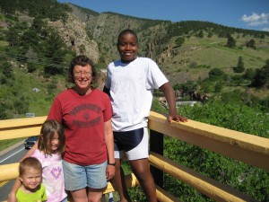 We climbed The Dam Store tower heading into the canyon
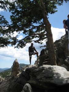 Gabriel enjoyed climbing rocks wherever we stopped
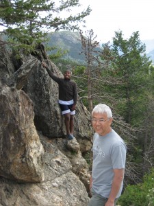 Gabriel and his dad, possibly at Many Parks Curve?
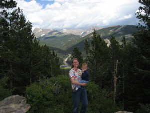 Mama and Trevor, at Many Parks Curve?
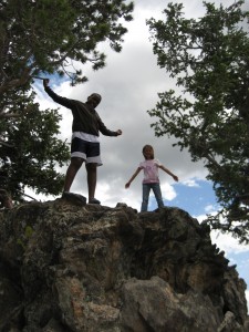 Gabriel and Melody make it to the top
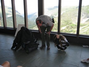 Lightning safety talk at the Visitor Center
Gabriel is wearing raingear and sitting cross-legged on top of a backpack
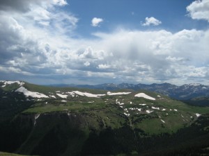 View probably from the Gore Range viewpoint
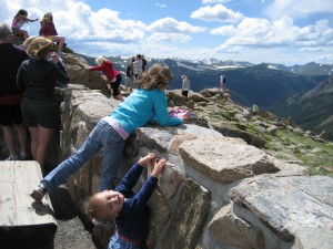 Melody and Trevor at Rock Cut, one of my favorite viewpoints
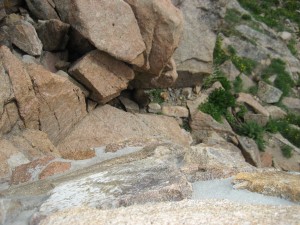 Marmot peeking out from the rocks
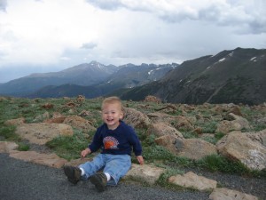 Trevor and the Continental Divide (the section straight above his head)
This is my favorite picture of the day!